
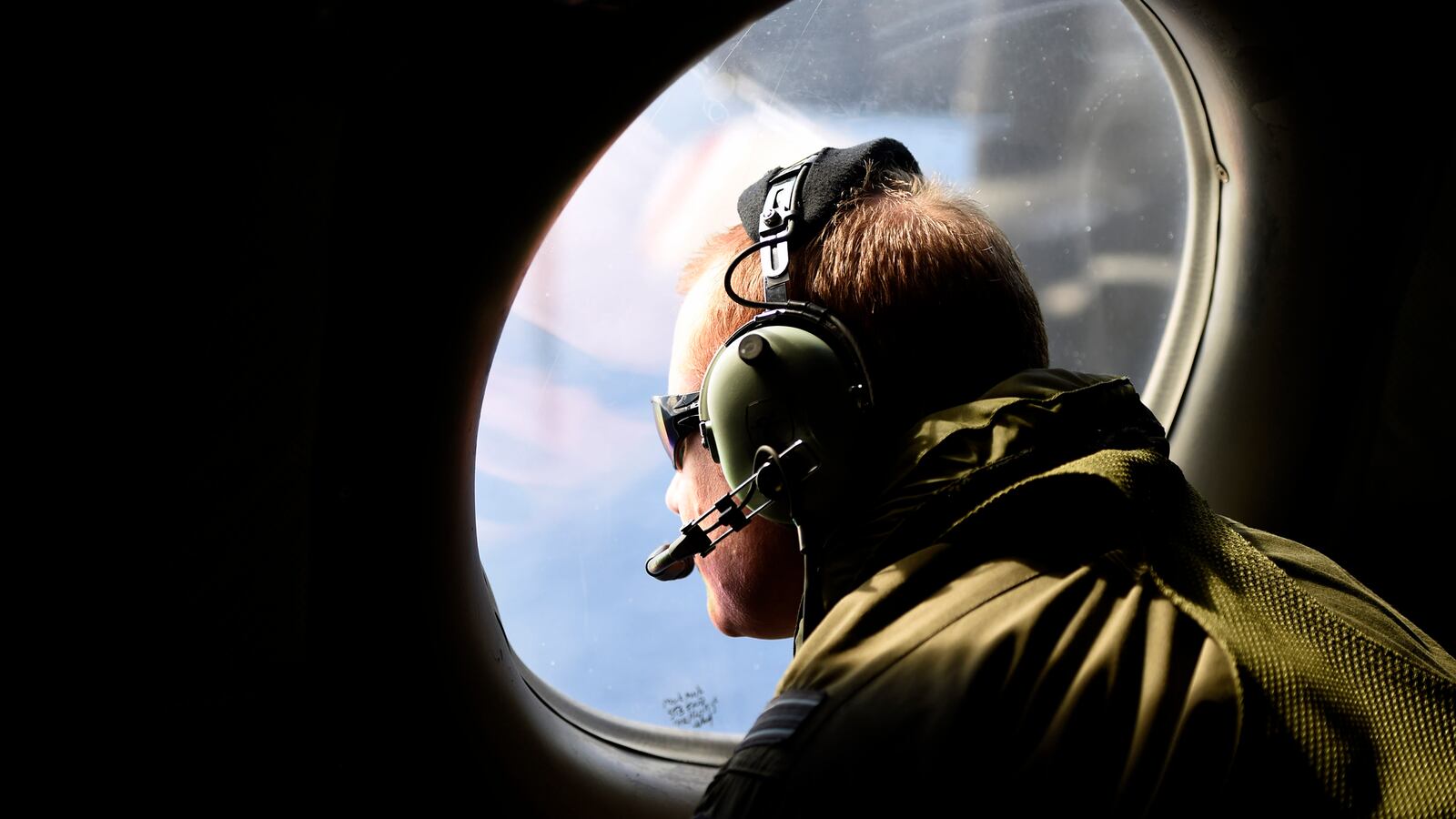
The undersea search for Malaysia Airlines Flight MH370 may have missed the wreckage, the Australian Transport Safety Bureau, leading the search, admitted Tuesday to The Daily Beast.
The Daily Beast can also reveal the Dutch company providing one of the search vessels, Fugro, admitted as far back as June that there were gaps in sonar coverage of the ocean floor that needed further investigation.
As a result, a search that has so far cost $180 million and that was expected to end this summer could now be extended into next year. This will be encouraging news for the families of the passengers and crew on the flight who feared that the search was being prematurely curtailed.
The ATSB says that a second sweep of the search area in the southern Indian Ocean will be made using a remotely operated vehicle “to investigate sonar contacts that are judged to warrant a closer look.”
“These targets are scattered throughout the greater search area, and have been identified over the course of the underwater search,” Dan O’Malley, a spokesman for the ATSB, told The Daily Beast.
In October, when the weather in the Southern Hemisphere should be more cooperative, a Chinese-owned search vessel, the Dong Hai Jiu 101, equipped with the ROV operated by a Maryland-based company, Phoenix International, will leave Fremantle, Australia and begin the second more precisely targeted search.
The new sweep is considered so important that it will begin before the primary search of the full area is due to be completed in December.
After 29 months of operations there are still 6,200 square miles of the southern Indian Ocean left to be searched out of the total search area of 46,332 square miles, much of it at depths of up to 20,000 feet. That search was originally expected to end this month, but atrocious weather has afflicted the area for months, making operations impossible.
Pressure to return to sites on the ocean floor already covered by a torpedo-like sonar-scanner called a towfish has been building for some time.
At an Offshore Engineering Society conference in London in June, Fugro gave a video presentation that demonstrated how formidable the underwater terrain is in the far reaches of the southern Indian Ocean, including deep valleys and more than 220 volcanoes spewing mud. It was in that context that the company indicated that gaps remained in the coverage of the search that justified a second look.
The remains of the Malaysian Boeing 777 could be scattered over a wide area. An expert who viewed the video told The Daily Beast, “It would be possible, but with what probability I have no idea, to miss the debris field in some of the underwater terrain in areas that have been searched.”
Earlier this year one of the sonar-scanning towfish collided with a volcano, snapping it from 15,000 feet of cable, the umbilical link to its host vessel. An ROV was used to locate and retrieve the towfish. Several promising sonar contacts were checked out by an ROV but two were the wrecks of old cargo ships and another a shipping container.
Another development is simultaneously adding tantalizing clues to the fate of the airliner and the 239 people aboard is the steady accumulation of debris collected from the coastlines of the western Indian Ocean. (This week another small piece of debris was found off the coast of Mozambique and will be sent to Australia for examination.)
The most urgent question raised by this debris is: Can its passage across the Indian Ocean from the presumed crash site—in some cases taking more than 800 days—be accurately traced back to provide a far more accurate fix on where that site is?
In pursuit of the answer Australian oceanographers are doing something never attempted before. They have made models of the first piece of debris found last summer, part of the airplane’s wing flight controls called a flaperon, and these will be set adrift with buoys fitted with satellite trackers. The ATSB says that 30 years of data used to model drift patterns will be used to control the experiment in the hope that it will pinpoint the correct location.
Even then, the scientists are equivocal: “It is hoped that when added to our existing knowledge and any future learnings a specific location of the aircraft will be able to be identified.”
Soon the Australians are expected to confirm that the largest piece of debris washed ashore so far, a wing flap found on Pemba Island, off the coast of Tanzania in June, is in fact from MH370. Air crash experts have pored over this flap for weeks, attempting to assess whether or not it had been deployed during the last minutes of the flight—an action that can be taken only manually by pilots.
So far investigators have insisted that during the flight’s final hours the airplane was flown without any human intervention by the autopilot system, and their calculations on how, where and when it impacted the ocean have been based on that assumption.


