President Joe Biden announced Tuesday he’s putting a scheduled trip to Philadelphia on hold because of the impeding crisis Florida faces with Hurricane Idalia—a soon-t0-be “extremely dangerous” major hurricane that’s forecasted to slam into the state’s gulf coast on Wednesday morning.
Mass evacuations were ordered early Tuesday as Idalia strengthened from a tropical storm into a Category 1 hurricane around 5 a.m. As it barrels across the warm waters of the Gulf of Mexico, Idalia is forecast to dramatically increase in power to at least a Category 3.
The National Hurricane Center warned early Tuesday that Idalia “is expected to intensify into an extremely dangerous major hurricane before landfall along the west coast or Big Bend region of Florida.”
The Big Bend area is expected to be lashed by winds 120 mph winds and up to 12 feet of storm surge—around the same levels of surge seen last year in Florida as Hurricane Ian brought death and destruction as it swept through the state. Some models using the NHC’s data suggest the historic Florida town of Cedar Key could be nearly wiped off the map.
Forecasters haven’t ruled out a last-second shift in path for Idalia, however, reminding the entirety of Florida’s gulf coast that it is at risk. Last summer, Hurricane Ian, a major hurricane, took a sharp turn to the east, walloping Southwest Florida instead of the Tampa Bay region as initially forecasted.
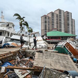
Ian killed 149 Floridians, largely because thousands in coastal communities didn’t heed calls to evacuate—or tried to do so too late.
A similar shift in path could be even more devastating should Idalia turn west and make landfall closer to Tampa Bay. The region, which has three times the population of Southwest Florida, is infamously the most vulnerable in the country to hurricanes. Its dense communities on the coast, hundreds of waterways, and no elevation combine to make it a worst-case scenario for a tropical system to strike.
Tampa Bay has evaded having a major storm making landfall for over a 100 years, largely thanks to luck and its location on Florida’s west coast, experts, including Colorado State hurricane researcher Philip Klotzbach, told the Tampa Bay Times.
The region’s vulnerability has been exposed by tropical storms in recent years, however. Weaker storms that have merely passed off the coast of Tampa Bay—like Tropical Storm Eta did in 2020—have caused significant flooding in Tampa and St. Petersburg, with several feet of storm surge inundating streets and homes.
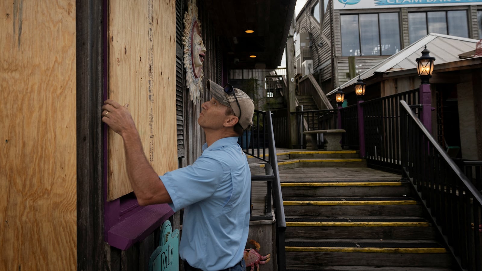
Evacuations have been ordered in 22 counties while schools, airports, and theme parks have been shuttered before the arrival of the storm. With Idalia approaching, Florida Gov. Ron DeSantis has warned residents to “buckle up” for power outages and advised those under evacuations to “take it seriously and get to a safer area.”
“This storm is going to hit tomorrow morning, you will start seeing effects in parts of the state later today,” DeSantis said at a Tuesday morning news conference. “You still have time to finish your preparations but you have to do that now.” He added that residents don’t have to leave the state but they should get to higher ground.
DeSantis said the state is working with power companies and that 25,000 linemen had been staged in order to respond to potential blackouts. Some 5,500 National Guard members have been activated, while urban search and rescue teams have also been readied by the Federal Emergency Management Agency (FEMA).
“The No. 1 killer in all of these storms is water, whether it’s the storm surge that’s going to happen at the coast or the excessive rainfall that might happen inland that causes urban flash flooding,” FEMA Administrator Deanne Criswell told CNN Tuesday.
Idalia was about 210 miles south-southwest of Tampa at 5 p.m. on Tuesday, moving northward at about 14 mph, with forecasters expecting it to accelerate during its landfall on Wednesday. Its track is making it difficult to predict exactly where its center will arrive on land, with the populated areas of both Tallahassee and Tampa potentially in its path depending on the storm’s movements.
Regardless of where the storm’s eye makes landfall, nearly all of Florida will be drenched by Idalia’s far-reaching rain bands and tropical storm winds that span 160 miles from Idalia’s center. The state’s northeast Atlantic coast, including Jacksonville, was placed under tropical storm warnings on Tuesday despite not being in Idalia’s direct path.
Idalia has already pounded Cuba with torrential downpours, with some residents forced to flee their homes when as much as it dumped more than 4 inches of rain in some areas. Experts fear the storm will rapidly-intensify while passing over the warm waters of the Gulf of Mexico, which are up to 2 degrees warmer than usual this summer, and will continue strengthening until it strikes the Florida coast.
President Joe Biden has approved an emergency declaration in Florida and has given assurances to DeSantis that the federal government will support the state as it rides out the storm.
