
Construction may never begin on President Donald Trump’s proposed wall along the border with Mexico, but it doesn’t really matter because it’s already quite a successful barrier.
Beyond the nearly 700 miles of existing “security fencing,” the president’s imaginary and contentious wall has built up—or reinforced—so many prejudices in the larger national consciousness that it’s difficult to believe there isn’t already an enormous slab of concrete separating the United States from the southern border.
Indeed, if the long list of social ills that Trump blamed on undocumented immigration in last week’s State of the Union is anything to go by—fewer jobs, lower wages, overburdened public services, increased crime, drug abuse, and gang violence—the mental barriers have been erected.
It hardly seems to matter at this point that there exists ample statistical information to disprove, or at the very least call into question, most of the president’s claims, not least the efficacy of a $5.7 billion wall.

But this argument has never been about facts. The United States has been here before, and its relationship with its southern neighbors remains unresolved. Trump is far from being the first president to make aggressive gestures about the line that separates the U.S. from Mexico. This border is far more than just a line on map, as the 5,000 miles that separates the contiguous U.S. and Alaska from Canada doesn’t have nearly as strong a hold on the public imagination. There are no calls to keep the Canadians out.
Trump’s vision, as he outlined in the State of the Union, is of a wall that will be “a smart, strategic, see-through steel barrier—not just a simple concrete wall.” But it is irrelevant what the president’s wall is made of—by their very nature, walls allow societies to draw a line between where “we” end and “they” begin, eliminating any possibility of “us.”
So perhaps this a good moment to return to the 19th century and be reminded that before 1848—when the Treaty of Guadalupe Hidalgo ended a war of territorial aggression between the U.S. and Mexico—California, New Mexico, Arizona, Utah, Nevada, and parts of Colorado and Wyoming were all part of Mexico. And let’s not forget the breakaway state of Texas in 1836, whose independence Mexico never recognized.
In addition, before Mexican independence in 1821, those places, plus Florida until 1819, and the Louisiana territory between 1762 and 1800, were all part of the Spanish empire. In fact, a map from around the time of the American Revolution would have depicted a hemisphere dominated by Spain, including most of what is the United States today. The 13 colonies were just that—small colonies perched on the edge of the enormous Spanish empire.
While this may not seem to have very much to do with actual events at the moment at the U.S.-Mexico border, Trump’s wall of the mind is already obscuring public vision of this complicated and complex history. Efforts to cast the United States as a having a static white, Protestant nation, English-speaking history that is somehow different from its neighbors’ willfully ignore the obvious: the country has many similar historical ingredients as the other nations in the hemisphere. European colonization, indigenous genocide, and the enslavement of African people are all parts of a shared history of the Americas.
Throughout the turbulent 19th century, the Mexican frontier also functioned as far more than a border—it was a zone for the expansion of certain ideas. In the case of Texas, for instance, this involved the question of slavery. Mexico wanted the practice abolished, but the settlers from the U.S. who had brought enslaved people to grow cotton disagreed and broke away, taking part of Mexico with them. This was compounded by the 1846 Mexican-American War, fueled by the desire of the United States to spread west, and the rise of a “manifest destiny” ideology that would allow nothing to stand in the way of that vision. Yet the lives of many Mexicans, enslaved people, and Native Americans were thrown into ruin and chaos with these changes along the frontier during these years. Both events also contributed to the politically fraught politics in a United States on the path to civil war.
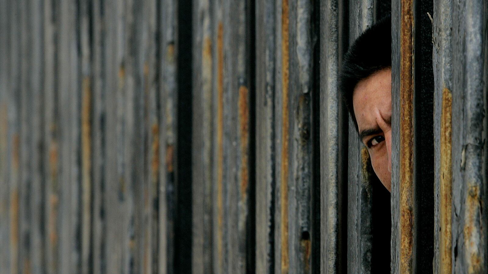
After these conflicts, it became clear that the actual location of the border was uncertain, requiring more than one boundary survey. The first, coming in the wake of the Mexican-American War, discovered that the maps used in setting the post-war 1848 border were incorrect, misplacing El Paso by several miles. A later boundary commission re-surveyed the land in the 1890s, replacing old stone markers with proper gleaming monuments. Most are visible today, though sometimes it is necessary to peek through the existing security fence to see them. Throughout this, the Rio Grande continued to flow. The river itself seemed to change its mind, shifting and drifting through cycles of flooding, changing its course, even causing another dispute over a scrap of land known as El Chamizal starting in the 1890s, leaving this small plot of land split between El Paso and Ciudad Juárez. Today it seems tame, now a small park commemorating its unique history, but it took an international treaty in 1963 to preserve it peacefully. The border seems to taunt those who wish to define and control it.
The ongoing media debate about whether or not there is crisis at the border and the president’s endless demands for his wall blocks the public’s view of the United States’ longer history. Trump’s wall is already here, and it is blocking out any glimpse of a future where the United States will accept its historical legacy with Mexico, and learn to live with its Spanish-speaking neighbors and citizens. There is a shared history and culture that is older than any security fence. But right now, it’s very hard to see.
Carrie Gibson is author of El Norte: The Epic and Forgotten Story of Hispanic North America, published by Atlantic Monthly Press.
@carrieegibson
carriegibson.co.uk